SKARV SOFTWARE ECOSYSTEM
arrow_backTil oversigten- Arctic Capabilities
- Communication, IT & Cyber
- Government & Public Authorities
- Innovation & Development
- Land
- Maritime
- National Pavilions
- Test & Measurement
Subsea intelligence from data to decision
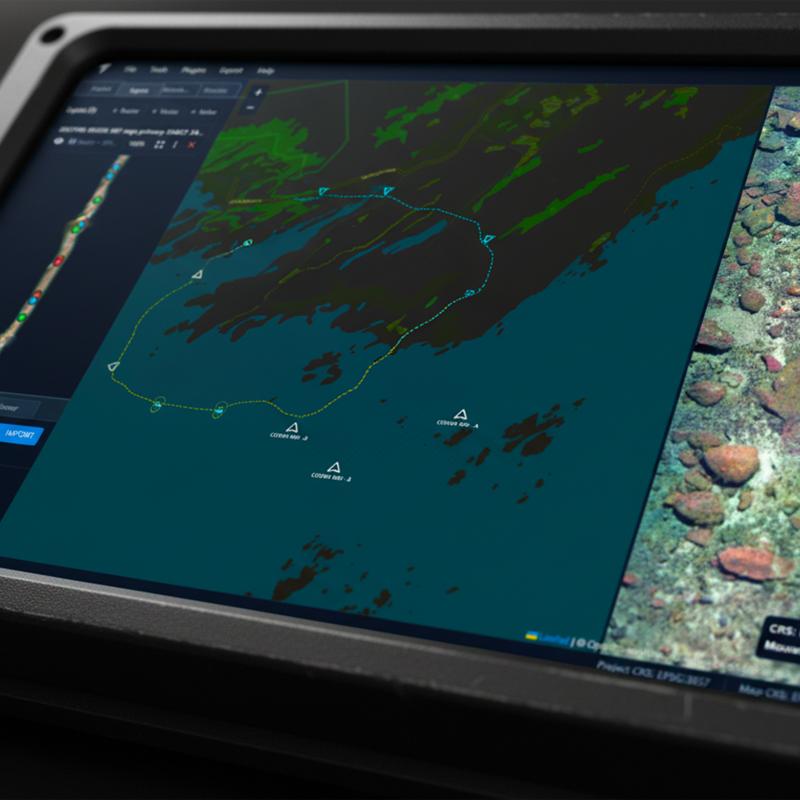
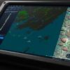
The Skarv software ecosystem enables rapid processing, analysis, and visualization of subsea data for defence and maritime operations. It transforms optical, acoustic, and time-series sensor data into actionable intelligence for mission-critical decision support.
Designed for autonomous underwater systems, the platform supports Intelligence, Surveillance, and Reconnaissance (ISR) and Mine Countermeasures (MCM) workflows through real-time analytics, post-mission processing, and operator-assisted review tools. It enables rapid detection, classification, and situational awareness in complex and contested underwater environments.
KEY CAPABILITIES
Real-time object detection, classification, and segmentation (machine vision)
2D/3D seabed reconstruction and georeferenced mapping
Underwater image enhancement for low-visibility environments
Acoustic data processing (side-scan sonar, multibeam, backscatter)
Hyperspectral data analysis for material and feature identification
OPERATIONAL TOOLS
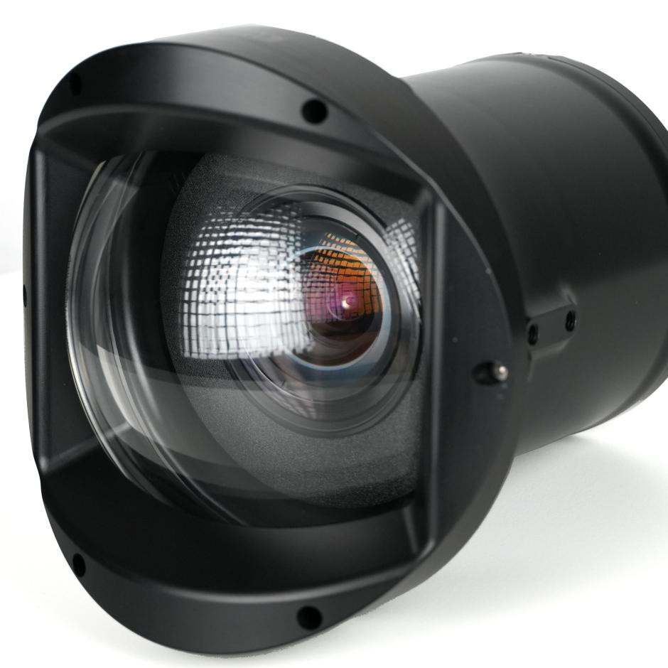
Seabed optics: optical inspection and feature extraction
Identification toolbox: annotation, validation, and reporting
Acoustic toolbox: sonar visualization and seabed mapping
Web-based platform: geospatial data exploration and mission review
MISSION INTEGRATION
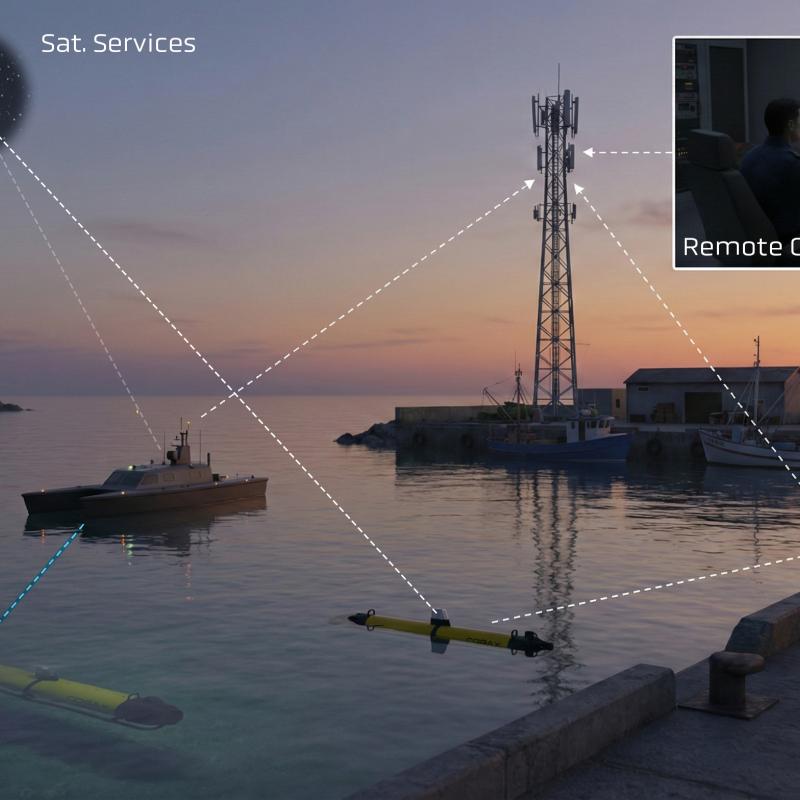
Supports integration with autonomous systems and mission planning frameworks, including Neptus-based control environments, enabling coordinated operation of AUVs, ASVs, and related platforms.


Produktet er medbragt på messen
Dette produkt kan opleves på udstillerens stand på messen

Produktet er tilføjet af:
Skarv Technologies AS
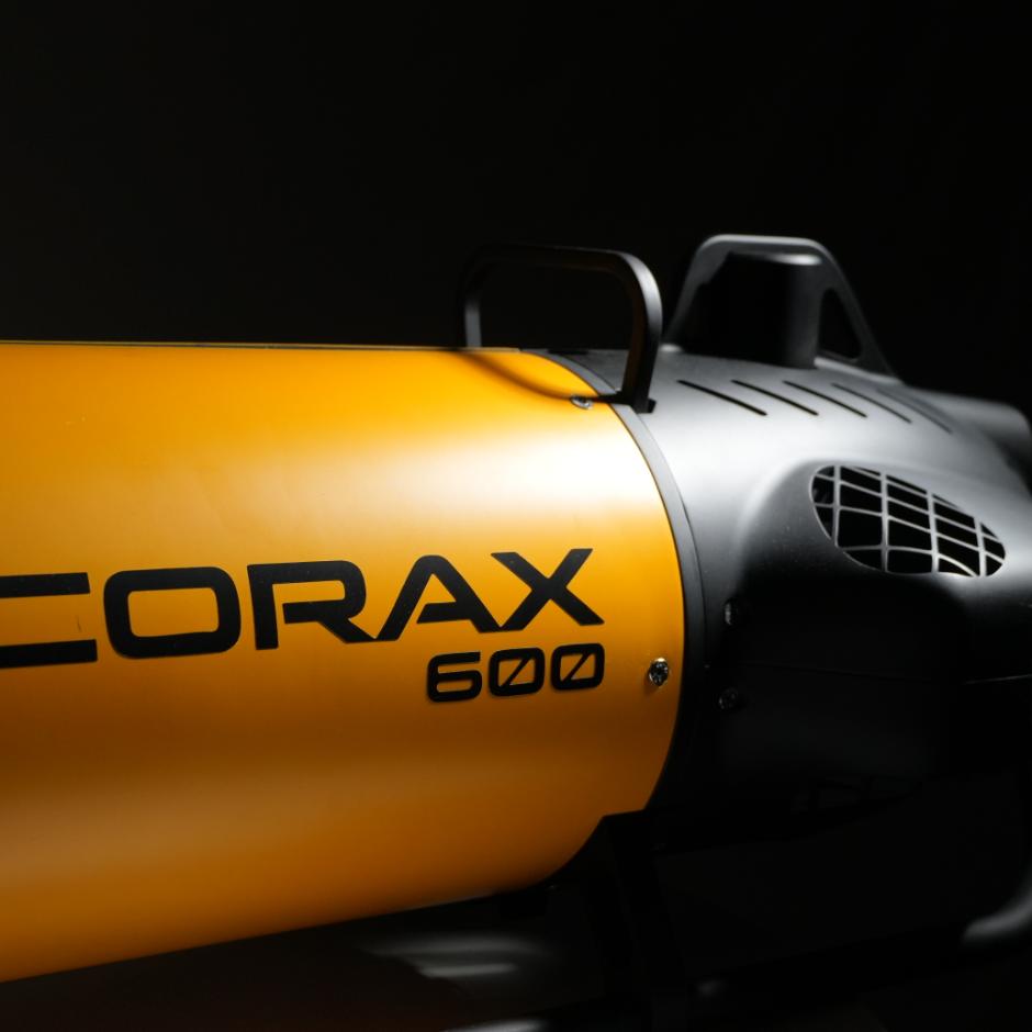
Skarv Technologies udvikler kompakte og brugervenlige autonome undervandssystemer bygget i Norge. CORAX AUV integrerer optiske og akustiske sensorer med avanceret dataanalyse for at levere hurtige og handlingsorienterede indsigter. Systemet er designet til forsvars- og sikkerhedsapplikationer og understøtter opgaver som minerydning (MCM) samt efterretning, overvågning og rekognoscering (ISR). Løsningen anvendes også operationelt inden for offshore energi, akvakultur og fiskeri, hvor den muliggør effektiv og pålidelig indsamling af undervandsdata i krævende miljøer.
Se profil