Falcon MK3S TOPO
arrow_backTil oversigten- Communication, IT & Cyber
- Government & Public Authorities
- Innovation & Development
- Land
- Startups
- Sub-suppliers
- Test & Measurement
- Tools & Support equipment
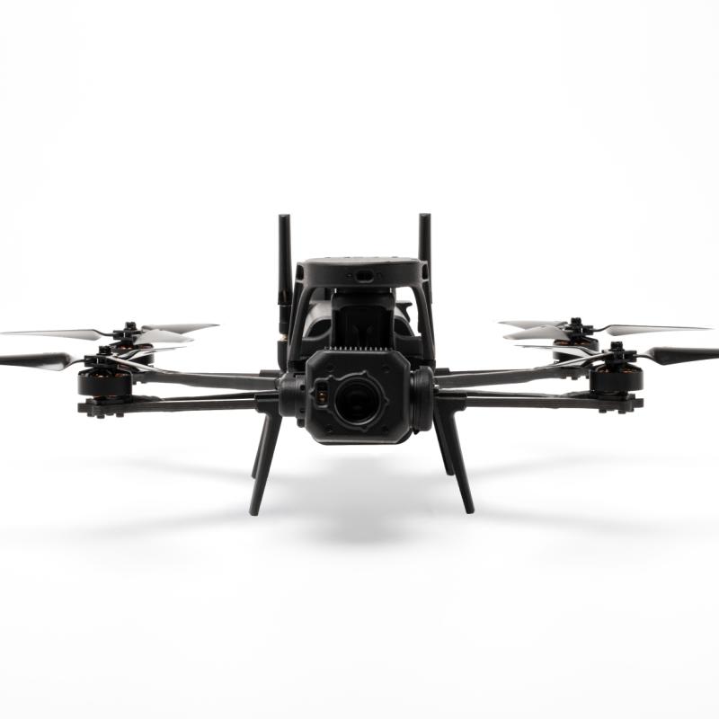
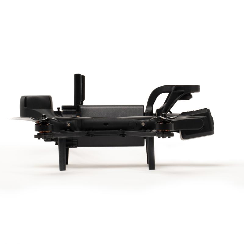
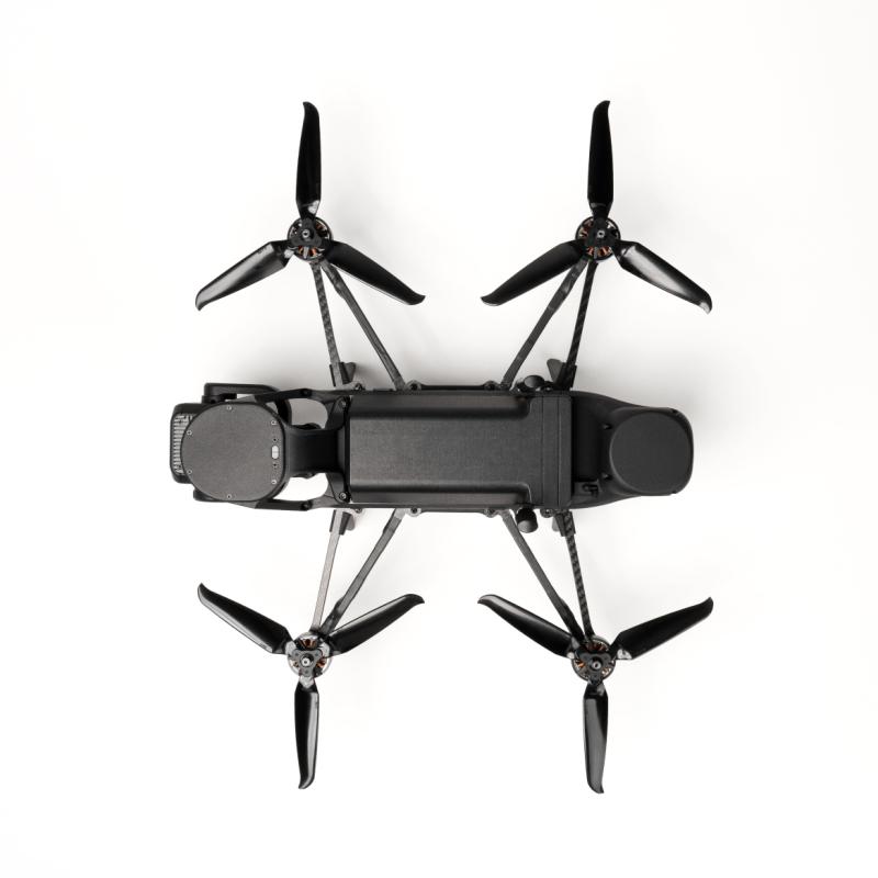
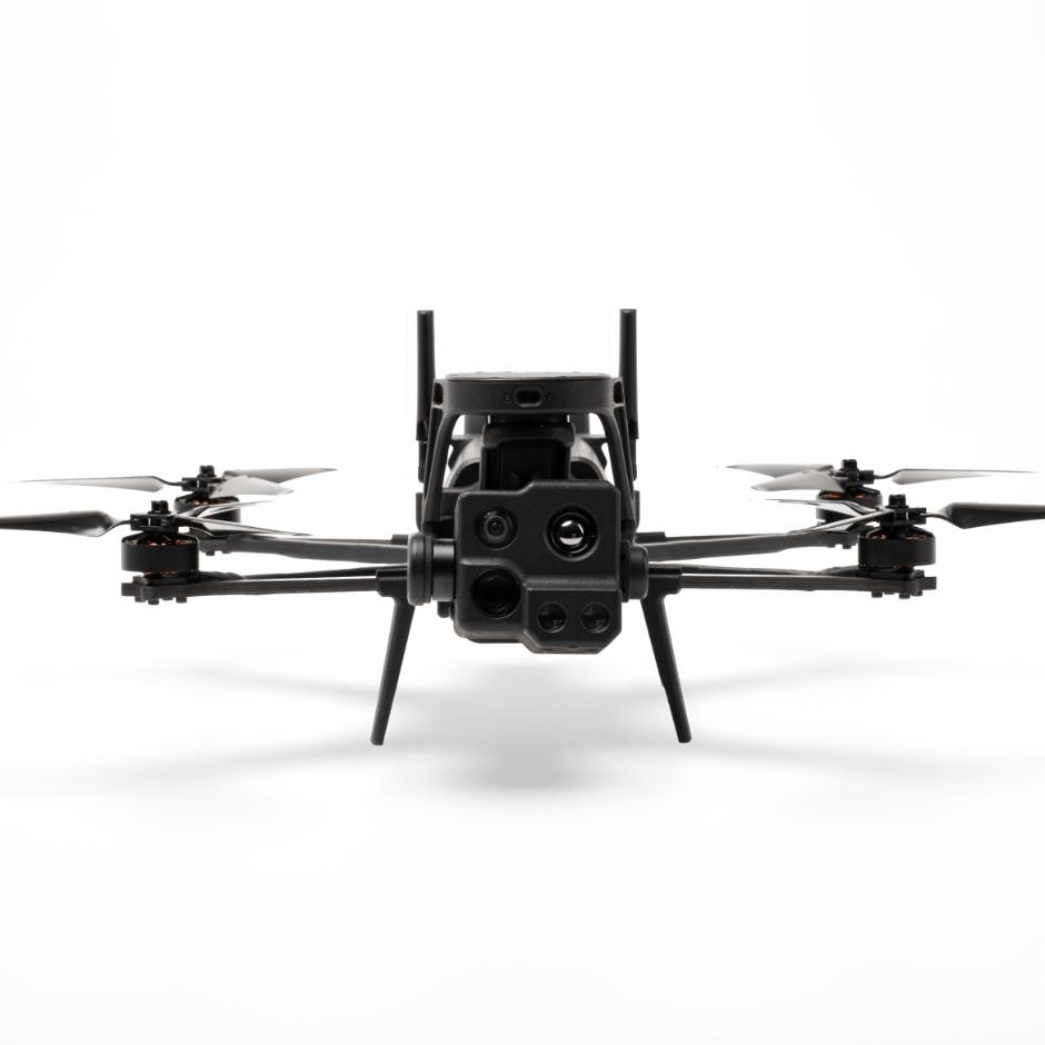
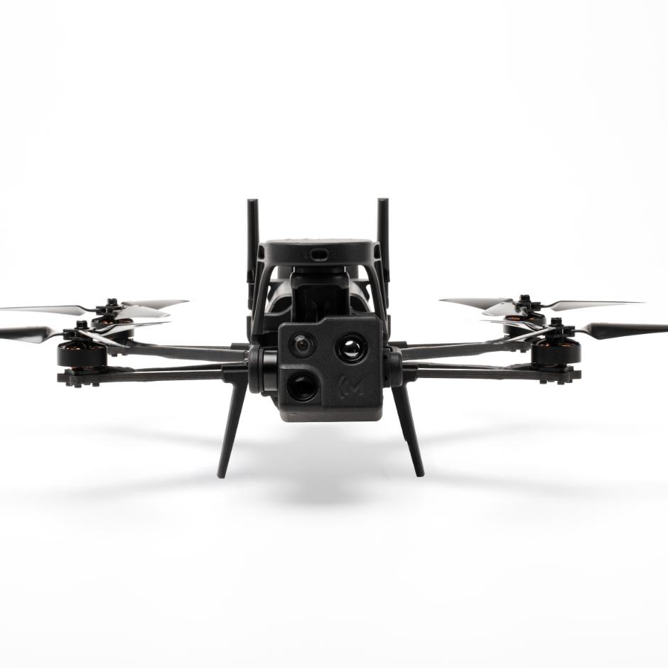
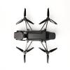
Falcon MK3S TOPO is configured for persistent area surveillance and topographic mapping. It uses high-speed photo capture and autonomous flight to cover ground efficiently, with AI-assisted object detection applied in post-processing. Deployable in under one minute, with a 5 km range and AES256-encrypted communications.



Produktet er tilføjet af:
Monopulse ApS
Taktiske UAV’er til militær, politi og beredskab – designet og fremstillet i Europa.